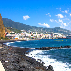
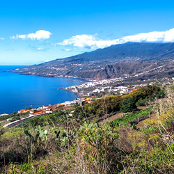
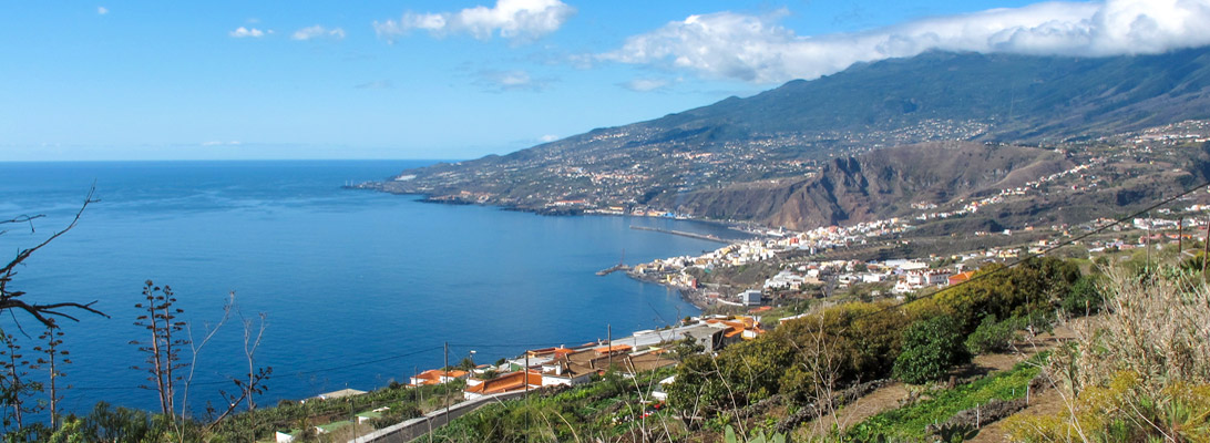
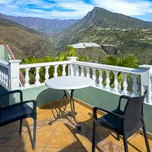
The municipality of Santa Cruz around the capital of the same name is heavily populated close to the coast, one could even say that it is literally squashed by spacious villas and houses with gardens. In the fertile landscape, which is less affected by drought than the west coast, many tropical plants that need humidity and a temperate climate, including tobacco thrive.
Volcano slopes worth seeing around Santa Cruz
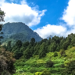
In the north, the municipality of Santa Cruz, called "Tedote" by the natives, borders on the "Barranco Seco" (near Puntallana), in the south on the "Barranco de Juan Mayor" (Breña Alta). It stretches from the sea up to Cumbre Nueva. Thus it also has a part in the national park Caldera de Taburiente. On its territory is the "Pico de La Nieve" (2,247 meters) and the volcano funnel Tagoja (1,097 meters). The volcanic slopes of the municipality are crossed by deep gorges. In the caves of the "Morro de Las Nieves" there are still traces of the ancient (Guanchen): Rock carvings, canals, and fragments of vessels. The city of Santa Cruz was founded only after the Spanish conquest of La Palma in 1493.
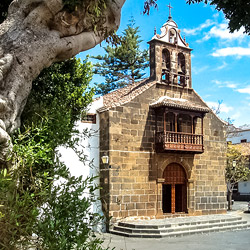
n the municipality of Santa Cruz you can also walk, for example from Santa Cruz through the "Barranco de Las Nieves" to the sanctuary of the Virgen de Las Nieves or to the "Pico de La Nieve".


